Mt. Dickerman
Location: North Cascades - Mountain Loop Highway
Out of sheer exhaustion, confusion, and complete and utter disappointment, we turned around. Mt. Dickerman had defeated us.
I planned a revenge trip with my best friend, Jessy, a week later. We arrived at the trailhead early in the morning, packed a legitimate lunch, and each brought five bottles of water. Despite our best intentions, we didn't plan all that well since she was hungover and I had only gotten 3 hours of sleep the night before. We learned fast in our woodland adventures that nothing cures a hangover like a good hike! Regardless, Jessy set her tracking app and up we went thirsty for blood.
 You have to reach the top before you understand what all the sweat and toil is about. There are no peeks at the prize view because the hike is largely steep, endless switchbacks in the forest where you feel so embarrassed that you have to stop every 30 yards for another breather and gulp of water. Here, we are sitting in the middle of the trail, completely exhausted. Some ladies straight up took a pee only one switchback ahead of us. We were pissed. Two miles in, where Katie and I had stopped before, is the first opening where daylight floods over a dried up and rocky creek bed. Around three miles in, the hike finally eases into blueberry flats with boardwalks through stunningly gorgeous wildflowers. You think you've made it! But no, one more steep and tormenting mile to that almost 4000 ft. elevation gain. I would not recommend this hike if you have bad knees, because the way down kills. In fact, Jessy and I were so eager to get to the car, we tried jogging the last mile down until she up and rolled her ankle. So she limped the last 1/4 mile. We think she actually caused some permanent nerve damage.

Length: 8.6 miles roundtrip
Elevation: Gain/3875 ft. Highest/5723 ft.
Difficulty: Severe
Time: 8 hours
This hike is no joke.
Dickerman is most definitely a dick.
You will be making dick jokes the whole way up.
 |
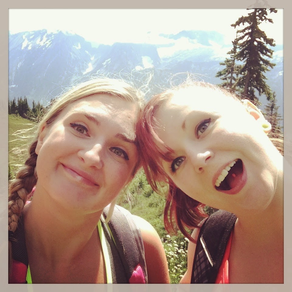
| Only half way there. |
My first attempt at this hike was with my cousin, Katie, when we started up the trailhead around 2 p.m. on a beautiful August afternoon. Although the trailhead was easy to find, we were yet again confused by our state's trailhead signage and weren't sure if it was 4.3 miles one way or roundtrip. All I was going off of was that this was a highly rated hike on the WTA website. We were game either way but our first mistake was hiking during peak daylight hours, as it was summer and the temperature hung in the mid 80s the whole time. We also only brought four water bottles between the two of us. By 6 p.m. we were exhausted, drenched in sweat, out of water, and asked a couple of old folks on their way down if the top was much farther. They chuckled and said we weren't even half way. We immediately looked at each other and then suspiciously back at the old people. Our dilemma was that if they could do it, then we certainly should.
"Seriously?! There's no way we're only half way! We've been hiking for four hours! That's like an average of a half a mile per hour!"
Out of sheer exhaustion, confusion, and complete and utter disappointment, we turned around. Mt. Dickerman had defeated us.
 You have to reach the top before you understand what all the sweat and toil is about. There are no peeks at the prize view because the hike is largely steep, endless switchbacks in the forest where you feel so embarrassed that you have to stop every 30 yards for another breather and gulp of water. Here, we are sitting in the middle of the trail, completely exhausted. Some ladies straight up took a pee only one switchback ahead of us. We were pissed. Two miles in, where Katie and I had stopped before, is the first opening where daylight floods over a dried up and rocky creek bed. Around three miles in, the hike finally eases into blueberry flats with boardwalks through stunningly gorgeous wildflowers. You think you've made it! But no, one more steep and tormenting mile to that almost 4000 ft. elevation gain. I would not recommend this hike if you have bad knees, because the way down kills. In fact, Jessy and I were so eager to get to the car, we tried jogging the last mile down until she up and rolled her ankle. So she limped the last 1/4 mile. We think she actually caused some permanent nerve damage.
Once you reach the summit, there are plenty of places to plop down and take in that mind boggling view of the Big Four, Del Campo, Mt. Forgotten, Stillaguamish Peak, Mt. Baker, White Chuck, Mt. Pilchuck, and even Mt. Rainier! So many mountains, I couldn't even begin to name them all. We just didn't have it in us to climb to the tippy top for the whole 360 view, but that is an option...
What the pictures absolutely cannot convey is the sense of space. I don't think I've ever quite experienced so many layers of mountains across such a vast expanse of a valley. You could spend all day trying to identify peaks or just gaze out into the distance like it's one of those 3D puzzles.
Directions: From Granite Falls, travel east on the Mountain Loop Hwy. Once you pass the Verlot Ranger Station, drive about 16 more miles and the trailhead is on the left. Once you enter the parking lot, the trailhead is to the right. Perry Creek is the trailhead to the left. Take either one and you'll get a long, ass-kicking hike with a gorgeous pay-off. Be sure to register at the trailhead!
Comments
Post a Comment